Discover
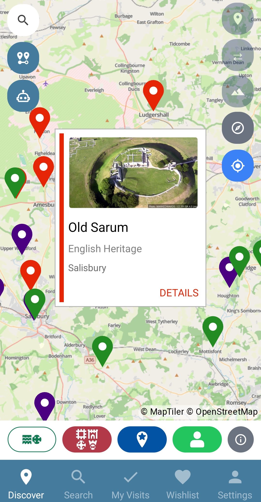
- Sixteen layers, one map
- The official registers and seven organisations' properties, colour-coded and switchable.
- Search sites and places
- By name or by location. Search “Wakefield” and see both the place and the sites around it.
- Tags
- Castles, dog-friendly sites, wheelchair-accessible ruins and more.
- Site details
- Grades, history and photographs, with links to the official record.
Record
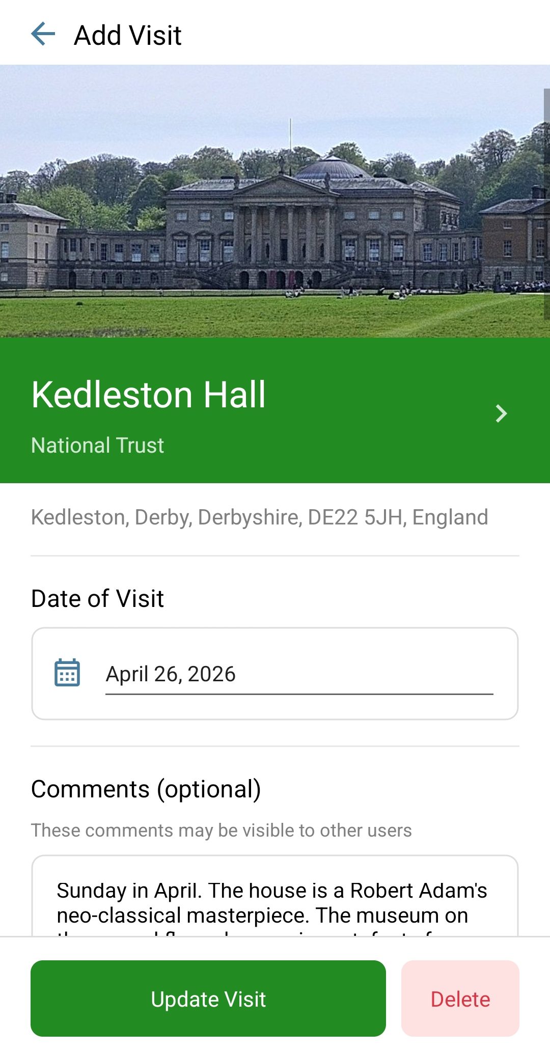
- Visits
- Date, comments and private notes, so you never forget when, or whether, you've been.
- Star ratings
- Rate every visit; find your favourites again later.
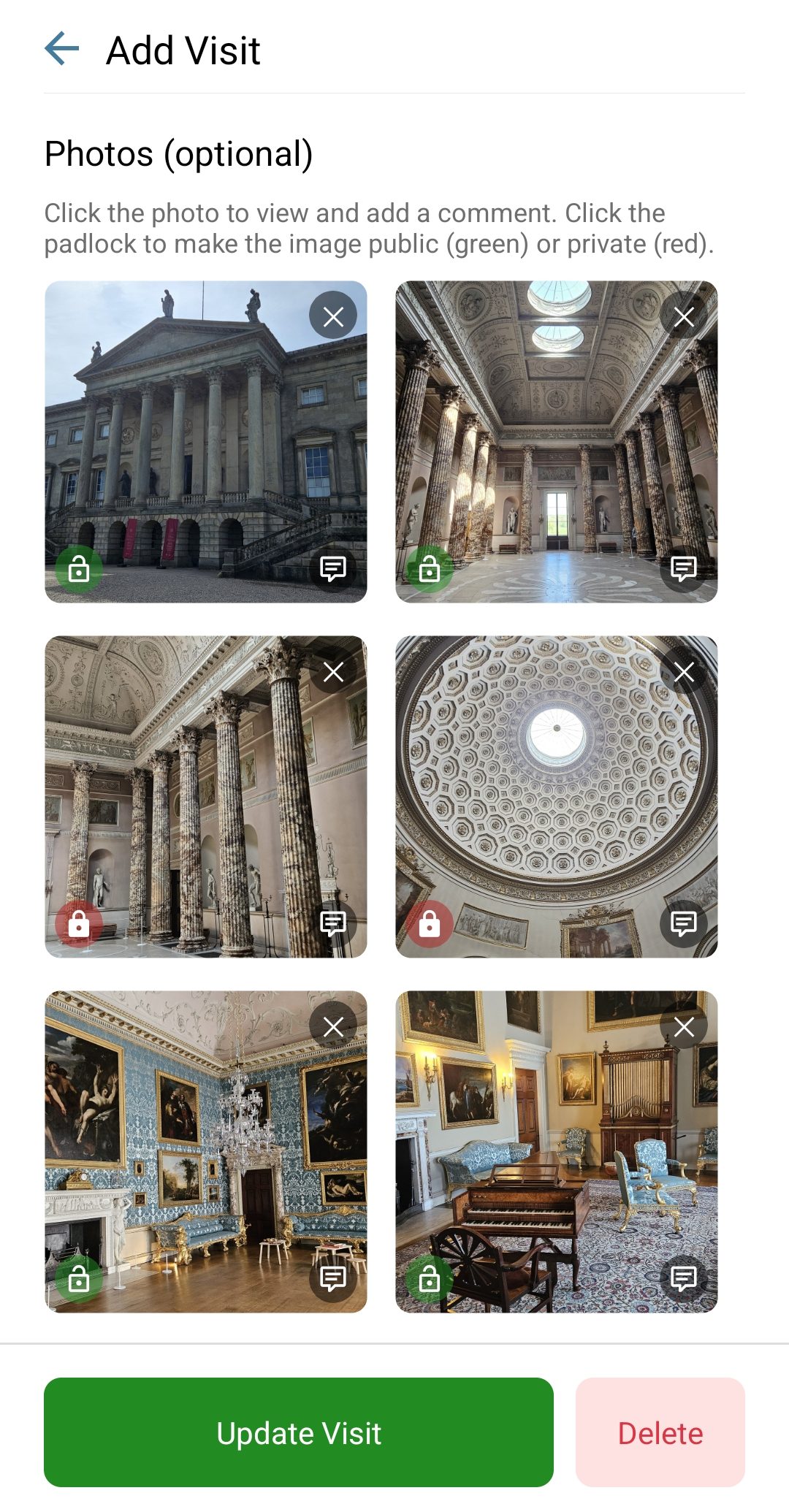
- Photographs
- Snap in the app or upload from your device. Each photo can be public or private.
- Wishlist
- Want to go? Add it and see it on the map.
Explore deeper
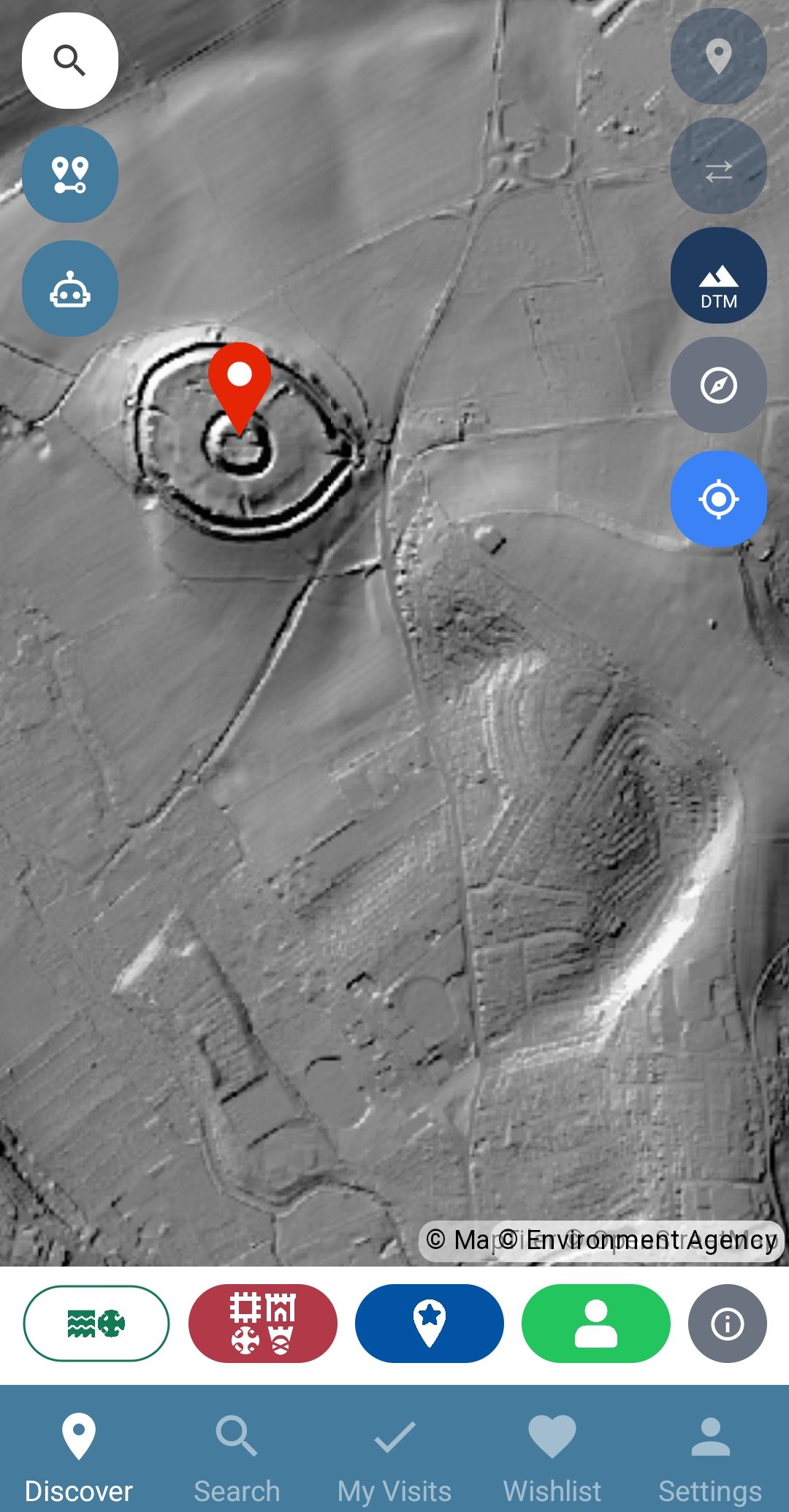
- LiDAR overlays
- Environment Agency surface and terrain models for England that reveal earthworks and archaeology invisible on the ground.
- Historic Ordnance Survey maps
- Six editions from 1885 to 1955, including the detailed six-inch sheets.
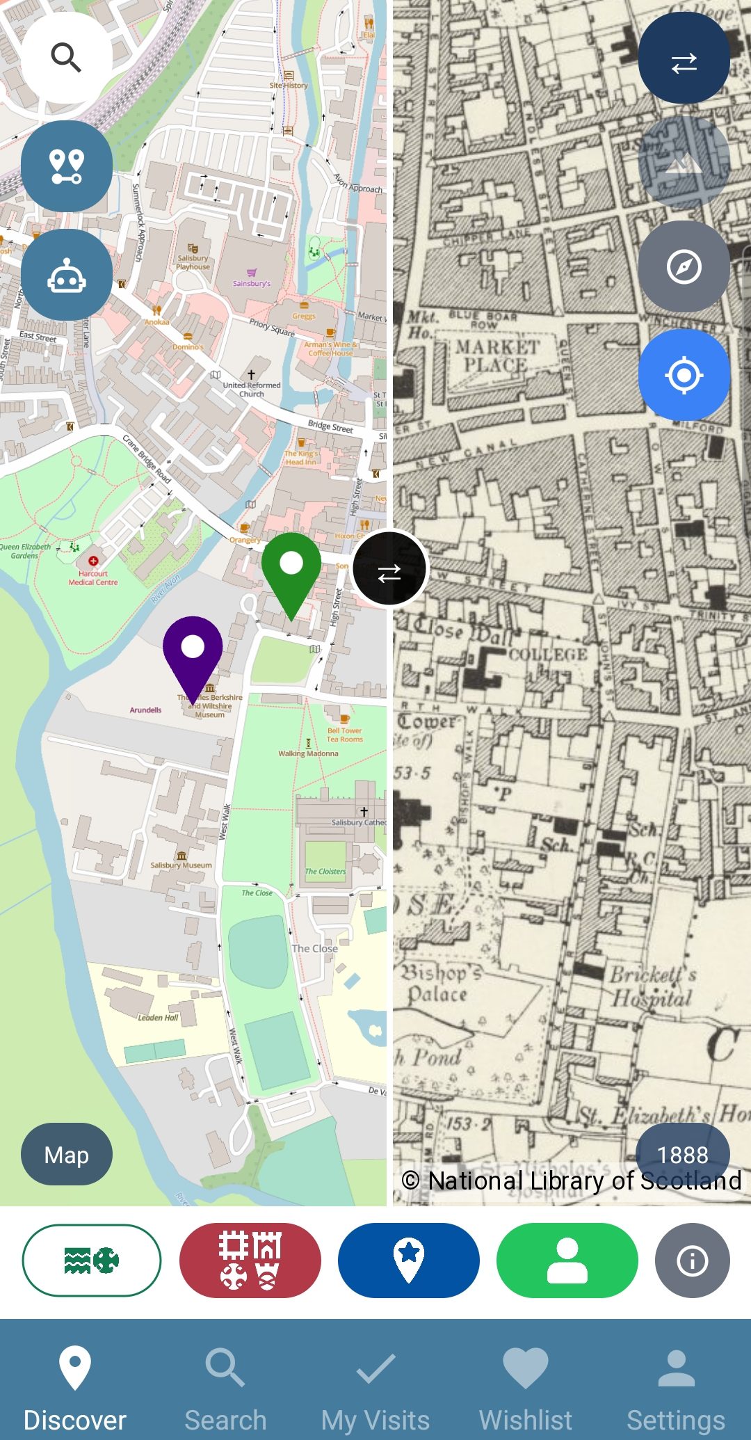
- Split & side-by-side compare
- Sweep between any two views: street map against LiDAR, or 1888 against today.
- Satellite & paths basemaps
- Aerial imagery, or footpaths and rights of way for getting there.
Together
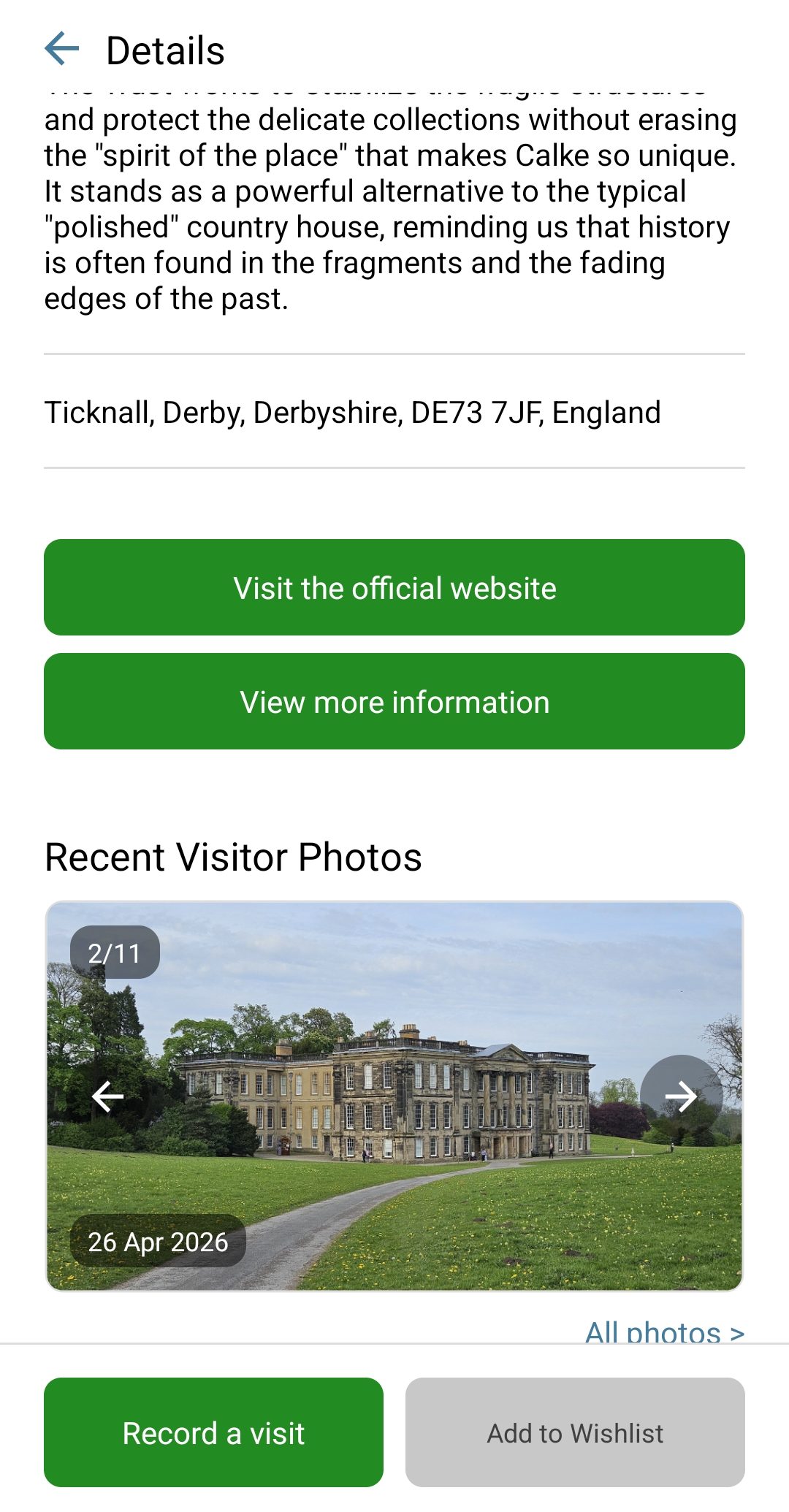
- Community comments & photos
- See what other visitors made of a site before you go, and add your own.
- Featured places
- Curated by us and suggested by the community. Suggest your own favourite.
- Published visit pages
- Selected visits, with their stories and photographs, on the website for anyone to read.
Everywhere
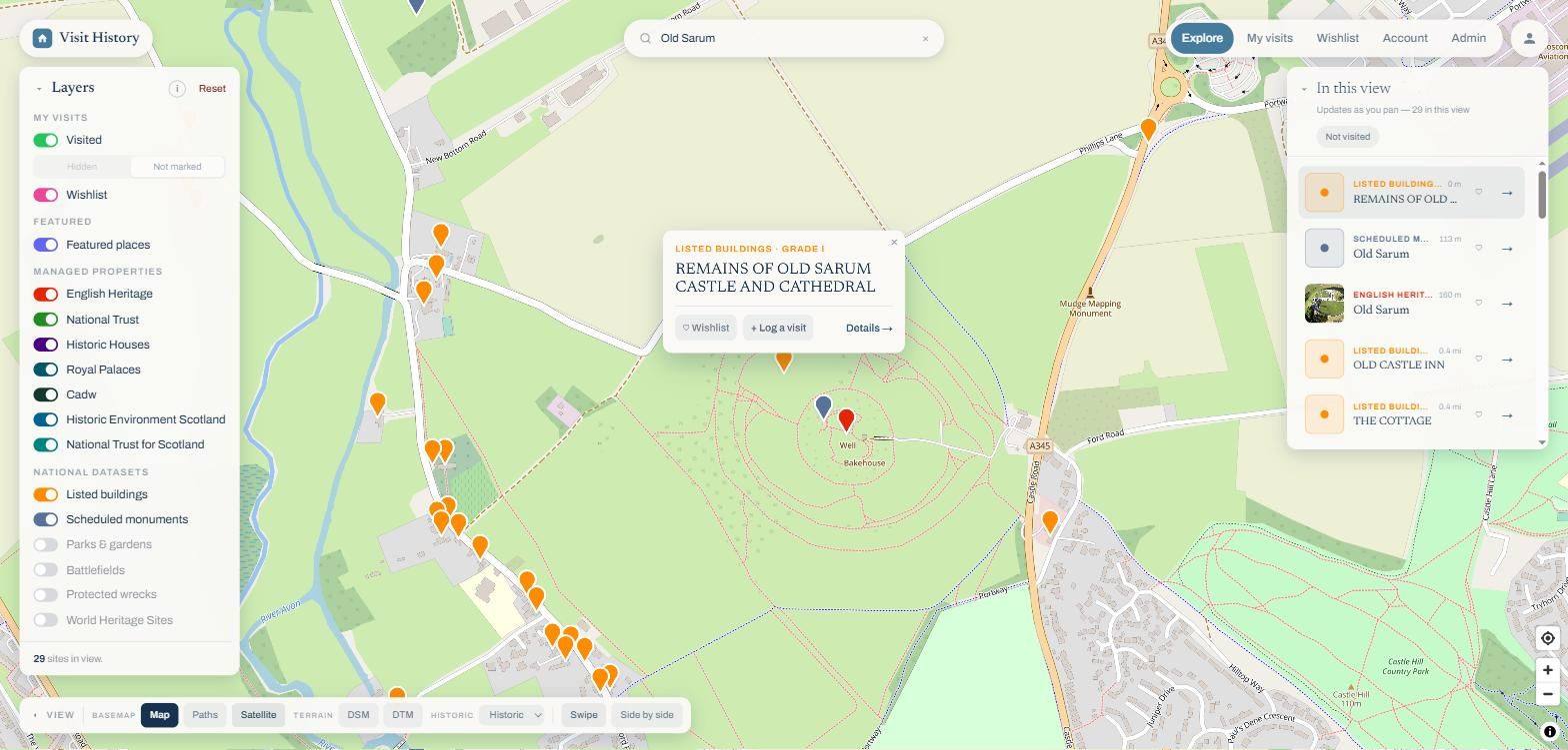
- One account, app and web
- Sign in anywhere; your visits, wishlist and photos are already there.
- One subscription
- Subscribe on the web, the App Store or Google Play. It covers both.
- iOS & Android
- The same app, both stores.
Your data
- Private by default
- Notes are always private; comments and photos are shared only when you say so.
- Safely stored
- Every visit and photograph in secure cloud storage and on your device, so nothing gets lost.