Why old maps matter
A historic site rarely stands alone. The mill it served, the railway that passed it, the lane that led to it and the field pattern around it have often vanished from the modern map, but the Ordnance Survey drew them all. Overlaying a Victorian sheet on today's map shows you what stood where, what a name like “Abbey (remains of)” was attached to, and how much of what you are standing in front of was already a ruin a century ago.
Visit History carries six editions covering Great Britain, served from the National Library of Scotland's collection:
1885
One-inch 'Hills' edition, 1885 to 1903
The classic Victorian one-inch survey, with relief drawn as hachures. Best for the shape of the whole landscape.
1888
Six-inch to the mile, 1888 to 1913
The most detailed of the set. Individual buildings, field boundaries, mills, wells and milestones are all drawn and often named.
1900s
Multi-scale composite, 1885 to 1913
A seamless blend of the period's surveys, choosing the best available scale as you zoom.
1919
Interwar mapping, 1919 to 1947
The country between the wars: new suburbs and arterial roads arriving, older features still hanging on.
1937
Provisional edition 1:25,000, 1937 to 1961
The first national survey at the walker's scale, and the bridge between the old county series and the modern grid.
1955
One-Inch Seventh Series, 1955 to 1961
The last one-inch series before metric mapping. Close enough to remember, old enough to surprise.
Using historic maps in the app
Open the map, tap the Historic control and pick an edition by year. The old survey draws in place of the modern basemap, with every site pin and your own visits still on top.
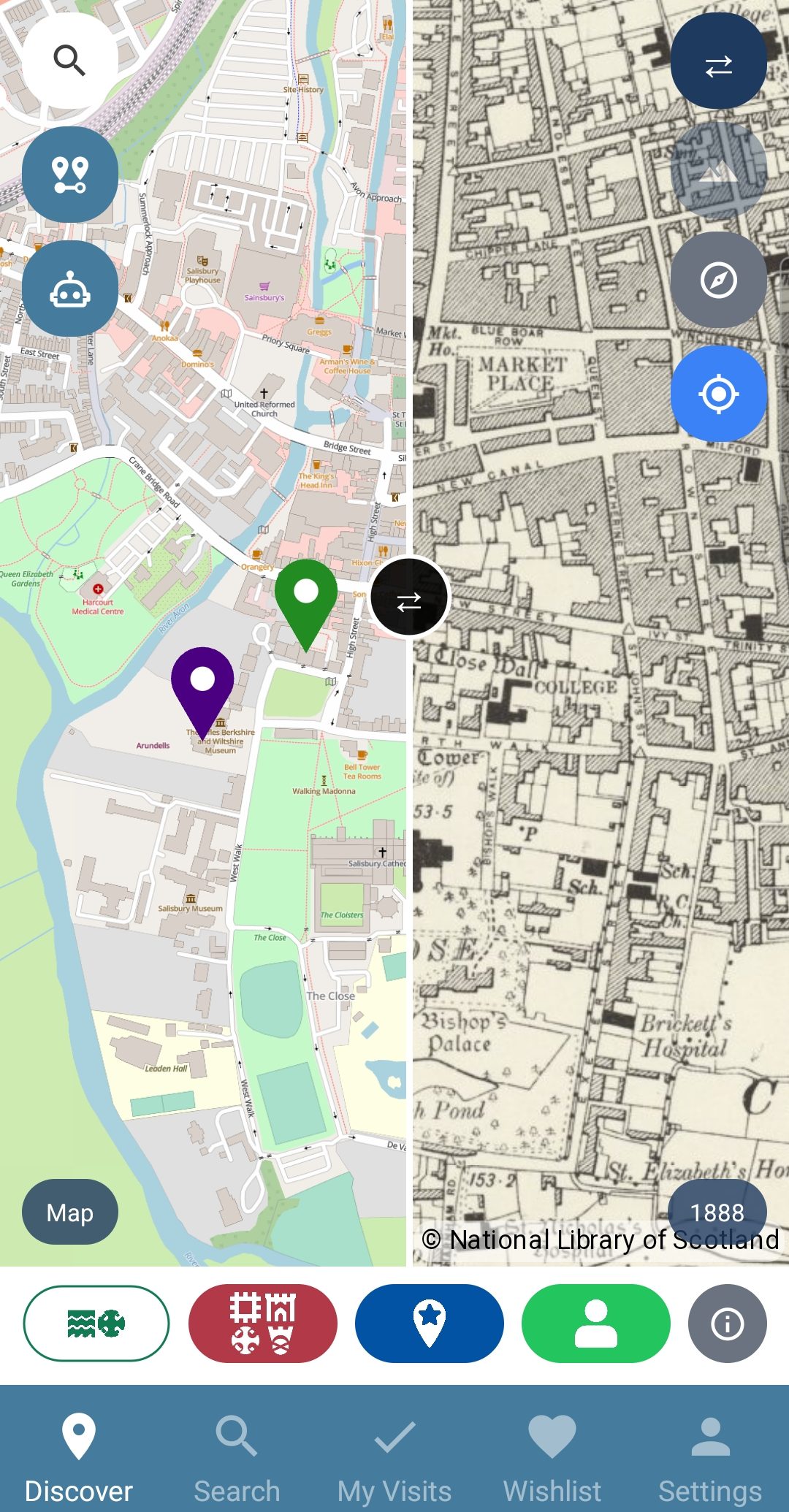
Better still, use Swipe: the screen splits, with today's map on one side and the old survey on the other, and you drag the divider to sweep between them. Pictured here over Salisbury, the modern city on the left and the 1888 six-inch sheet on the right, with the Market Place and Bishop's Palace drawn as the surveyors found them.
Using historic maps in your browser
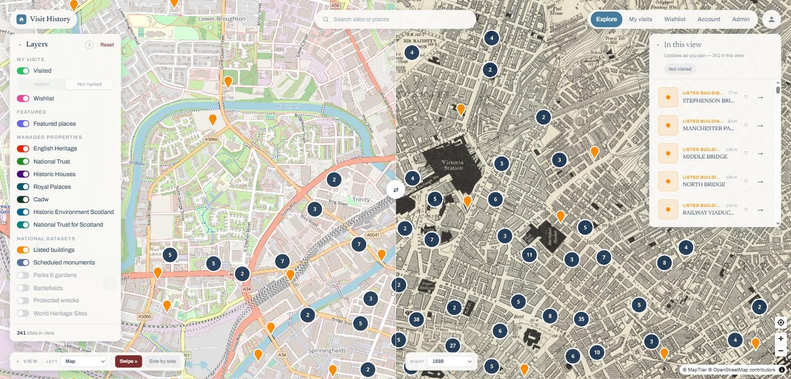
The web map explorer has the same six editions on the Historic picker, plus Swipe and Side by side compare on a screen big enough to read the old lettering. Any two views can face each other: 1888 against today, 1885 against 1955, or an old survey against the LiDAR terrain model, which is how a feature drawn on the Victorian sheet turns out to still be there as an earthwork.
What to look for
- “Remains of” labels: the surveyors recorded ruins by name, and many have since vanished entirely. The old sheet is sometimes the only record of exactly where.
- Lost infrastructure: closed railways, canals, mills and mines, drawn in working detail on the six-inch sheets.
- Field boundaries: hedgerows on the 1888 survey often follow medieval lines that modern farming has erased.
- Your own street: sweep the divider across your neighbourhood and watch a century arrive.